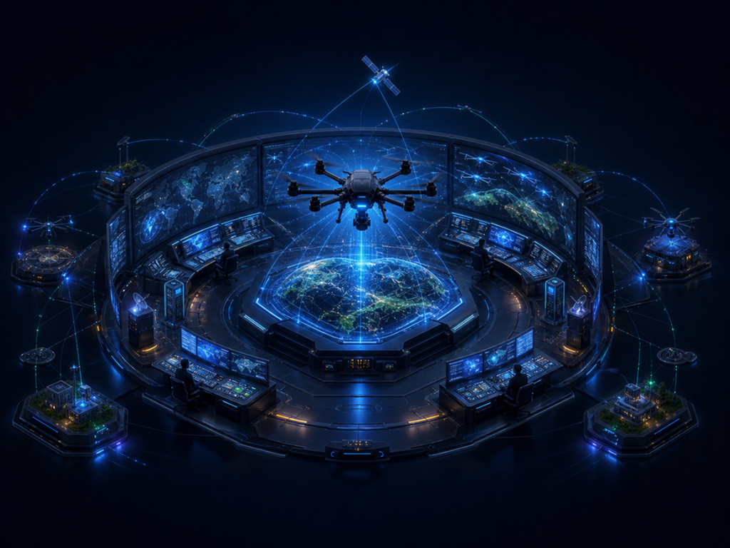
SUNUAV GROUP · RISE BEYOND
Go Beyond
every limit
Creating Vietnam's comprehensive UAV technology ecosystem, connecting artificial intelligence, manufacturing capabilities, and real-world operations.

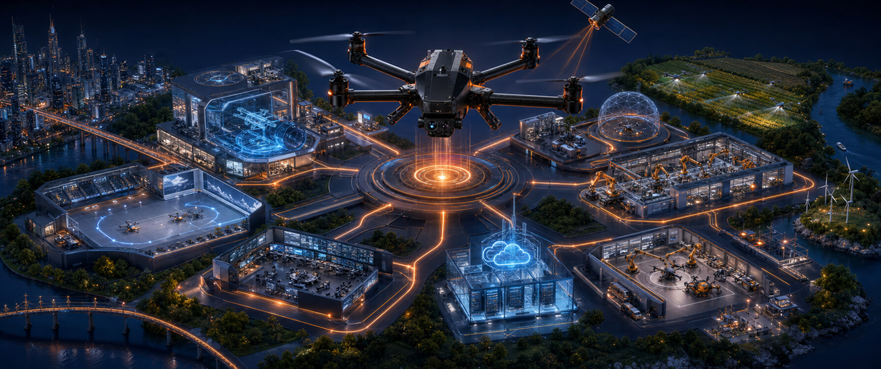
SUNUAV is a complete UAV technology ecosystem
SUNUAV masters the entire chain: research and design, manufacturing, pilot training and testing, flight operations, and the connecting data-cloud layer. Customers have a single point of accountability instead of five fragmented suppliers.
Closed-loop value chain
01 Research
02 Design
03 Testing
04 Manufacturing
05 Training
06 Testing & Evaluation
07 Certification
08 Operations
09 UAV Services
10 AI & Data
11 Cloud Platform
12 Low-Altitude Economy
6 strategic centers
Each center is an independent link in capability but shares operations, data, standards, and infrastructure through the GOC Operations Center.
01 - SUNUAV R&D Center
SUNUAV R&D Center
Researching AI, Robotics, flight control chips, composite materials, and energy batteries

02 - UAV Services
SUNUAV Service
Operational services: environmental monitoring, LiDAR surveying, logistics, and emergency medical response

03 - SUNUAV Manufacturing
SUNUAV Manufacturing
Manufacturing agricultural, surveying, logistics, and industrial UAVs, along with control systems.

04 - SUNUAV Digital
SUNUAV Digital
AI Vision platforms, GIS/BIM, Digital Twin, Drone Cloud & UTM flight management.

05 - SUNUAV UAV Training Center
SUNUAV UAV Training Center
Training UAV pilots and engineers: organizing testing, evaluation, and certification according to international standards.

06 - SUNUAV GOC
SUNUAV GOC
Primary Function / Core Function: Real-time flight monitoring, resource allocation, and center-wide data consolidation.

7 Practical Solutions Creating Real Value
The low-altitude economy encompasses economic activities conducted in airspace below 1,000 meters.
Below are the areas that SUNUAV is currently implementing or preparing to deploy.
Smart Agriculture
Crop spraying, seeding, and field-level crop monitoring.
Environmental Monitoring
Air and water quality measurement, discharge detection.
Infrastructure Inspection
High-voltage lines, substations, bridges, dams, and offshore rigs.
Logistics drone delivery
Last-mile delivery, resupply to islands and remote areas.
Smart Cities
Traffic monitoring, urban planning, digital urban mapping.
Search & Rescue
Nighttime search via thermal cameras, dropping life buoys.
Emergency Medical Services
Transporting blood, vaccines, and medical specimens between facilities.
Solutions tailored to industry-specific needs
Featured Projects View all projects

Tổng công ty Truyền tải điện
Kiểm tra 480 km đường dây 220kV bằng UAV — rút thời gian khảo sát từ 21 ngày xuống 6 ngày.
View More

Hợp tác xã lúa Đồng Tháp
Phun thuốc 1.200 ha lúa vụ Đông Xuân, giảm 32% lượng thuốc và 90% nhân công tiếp xúc hoá chất.
View More

Ban chỉ huy PCTT tỉnh miền Trung
Bay đêm bằng camera nhiệt trong lũ, xác định 14 điểm mắc kẹt trong 3 giờ đầu.
View More
Industry-Leading UAV Insights View All News

Partnering with Regulatory Bodies, Academies, and Enterprises
Our partner network spans state management agencies, academies, research institutes, and technology enterprises both locally and internationally.