ECOSYSTEM
Six centers, one closed-loop value chain
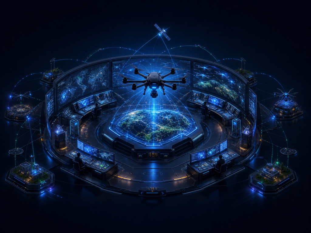
The SUNUAV ecosystem is not merely six parallel operational units. They share data, technical standards, and infrastructure through the Global Operations Center (GOC), ensuring the output of one center seamlessly feeds into the input of another.

Ecosystem with a centralized operations center.
Expanding strategic systems
The GOC Operations Center acts as the coordinator: allocating resources, monitoring flight safety, and integrating data from all five centers.
12 steps from the lab to the low-altitude economy
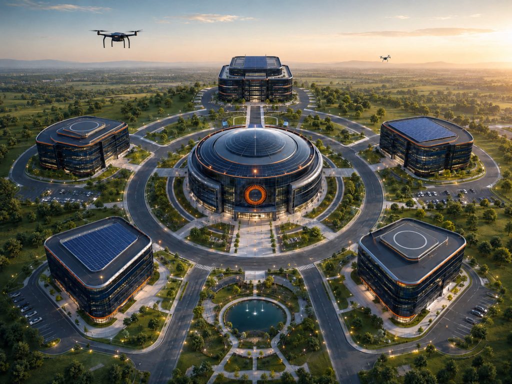
Each step is managed by a specific center, but data flows continuously and seamlessly across research, production, and operations.
01 Research
02 Design
03 Testing
04 Production
05 Training
06 Testing & Evaluation
07 Certification
08 Operations
09 UAV Services
10 AI & Data
11 Cloud Platform
12 Low-Altitude Economy
Partnering with regulatory authorities, academies, and enterprises
Our partner network spans from state regulatory agencies, academies, and research institutes to domestic and international technology enterprises.
01 - SUNUAV R&D Center
SUNUAV R&D Center
Researching AI, Robotics, flight control chips, composite materials, and energy batteries

02 - UAV Services
SUNUAV Service
Operational services: environmental monitoring, LiDAR surveying, logistics, and emergency medical response

03 - SUNUAV Manufacturing
SUNUAV Manufacturing
Manufacturing agricultural, surveying, logistics, and industrial UAVs, along with control systems.

04 - SUNUAV Digital
SUNUAV Digital
AI Vision platforms, GIS/BIM, Digital Twin, Drone Cloud & UTM flight management.

05 - SUNUAV UAV Training Center
SUNUAV UAV Training Center
Training UAV pilots and engineers: organizing testing, evaluation, and certification according to international standards.

06 - SUNUAV GOC
SUNUAV GOC
Primary Function / Core Function: Real-time flight monitoring, resource allocation, and center-wide data consolidation.

Six platforms for the entire ecosystem
The six components below are one-time investments shared across the system, driving down operational costs as scale grows.
Drone Port
Automated landing and charging stations enabling patrol flights without local ground crews.
5G / 6G
Low-latency broadband link for real-time control and live video streaming.
UTM / Drone Traffic Management
UAV traffic management coordinating with airspace authorities.
Data Center
Storing and processing large volumes of imagery, LiDAR, and telemetry data.
National Digital Map & GIS
A unified mapping platform for all surveying and planning applications.
Legal & Flight Safety System
Flight clearance procedures, risk management, and compliance with active regulations.